About Me
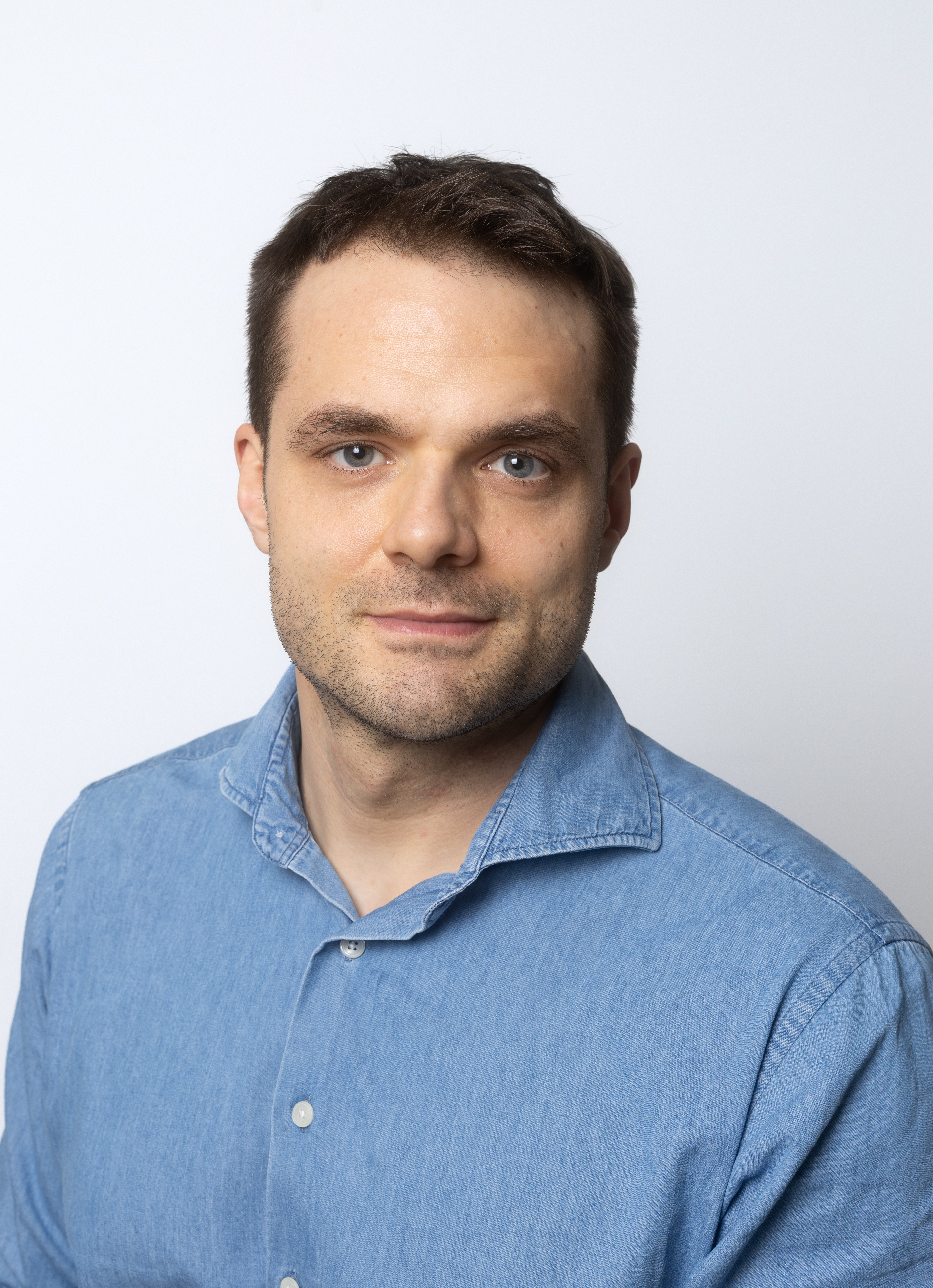
Hello and welcome to my Page! My name is Florian Frank. I hold a Bachelor's and a Master's degree in Spatial Planning from TU Wien (Vienna University of Technology).
During my Master's studies, I worked as a project assistant at TU Wien's Research Unit of Transportation Systems, where I contributed to several research projects. These included Aspern MobilLab, which involved establishing a mobility panel in collaboration with residents of Vienna's Seestadt Aspern district. In the CLK1 project, I worked on parcel delivery systems using parcel lockers. Another project, TRACE, investigated the use of delivery robots for B2B and B2C deliveries in three European cities.
After completing my Master's degree, I joined MovingLayers as a geoinformatics specialist, focusing on software development. My responsibilities included developing, maintaining, and testing QGIS plugins, particularly for electric power line route planning.
Alongside my professional work, I began pursuing a Master's degree in Spatial Data Science and GeoCommunication at the University of Vienna. Through this programme, I aim to further develop my skills in spatial data analysis, programming, and GeoAI.
On this website, I showcase my projects, technical interests, and work in geoinformatics, spatial data science, and software development.